Commercial Drone Roof Inspection in New Haven, CT
Commercial Drone Roof Inspection
Use drone imaging for hard-to-access commercial roofs in New Haven, then pair overhead views with hands-on checks and a useful condition record.
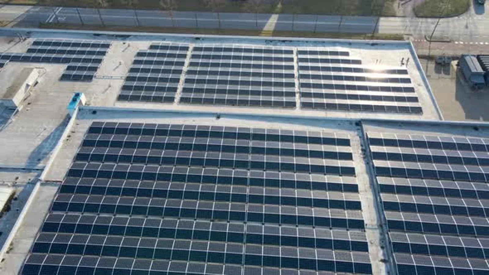
Large roof areas can make an overhead image a useful first view of drainage and access. In New Haven, repeated winter freezing gives low points and outlets a reason to appear clearly in the inspection record. We use drone imagery to document broad roof conditions, locate areas that need closer review, and give the general contractor a visual plan for follow-up.
A drone image cannot confirm every seam weld, attachment, or concealed moisture condition. It shows the surface from above and helps the inspector choose where to walk, test, or photograph at close range. We combine the imagery with field observations and label which findings are visible, which are suspected, and which need a hands-on check.
A view across the roof field
Overhead images can show how roof areas connect across multiple elevations, wings, or equipment zones. We review visible seams, surface changes, drains, scuppers, penetrations, and large areas of ponding or debris. The image sequence makes it easier to locate a feature later, especially when roof access is limited or the surface is too broad to describe from a single ground-level view.
We organize images by roof area and orientation, then link each observation to a location the project team can find. A wide view can show drainage patterns or paths around equipment, while a closer image can document a visible tear, displaced flashing, or loose object. The images do not prove what is below the membrane, so we identify any area that needs a closer physical examination.
On a multi-level building, a labeled sequence also helps the project team keep each roof zone distinct. We note which view covers a main field, a setback, or a mechanical area, then relate the location to the site plan when one is available. That avoids using an impressive overhead image as a substitute for the location detail needed in a repair proposal.
For an owner preparing a bid, the hands-on inspection turns those visual markers into a condition record. Where a broad roof has visible water patterns, we may pair the image review with a drain and scupper examination to check the outlets and surrounding membrane.
Planning a safe flight and roof walk
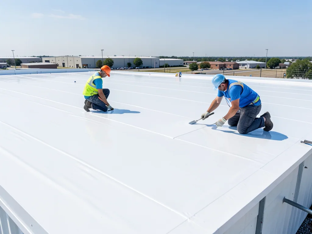
Before imaging, we confirm the property contact, launch and landing locations, roof boundaries, nearby operations, and any restrictions that affect the work. Buildings with frequent deliveries, public entrances, or active equipment areas may need a specific access window. We coordinate that window with the general contractor and facility team, then plan a roof walk for details the camera cannot safely inspect from the air.
New Haven's documented multimodal corridor includes the I-95, I-91, and Route 34 interchange, useful context for delivery and site coordination. In North Haven, the local commercial mix includes medical equipment, machinery, steel fabrication, and distribution; roof access needs there can differ from a medical or education building in the city.
Drone coverage may also require a ground observer or temporary separation from people and vehicle paths. We keep images tied to the approved flight area and stop when wind, rain, visibility, or nearby activity makes capture unsuitable. A clear route plan protects the image quality and the people moving below the roof.
What an image can and cannot show
Aerial views can identify visible changes in color, debris accumulation, open seams, displaced material, standing water, or an obstructed outlet. Shadows, glare, wet surfaces, and camera angle can also hide or distort a detail. We note those limits in the record and avoid calling a condition confirmed when the image only raises a question.
At a transition, curb, edge, or drain, a close inspection can reveal whether layers are attached and whether water has reached the underlying assembly. We use the image to target that location, then document what the roof surface shows on foot. If moisture below the membrane is suspected, a moisture survey or test opening may be needed to verify the area before repair quantity is set.
Branford's manufacturing, bioscience, healthcare, and retail mix, alongside North Haven's distribution and equipment-related activity, helps frame regional access planning. We set each image review from the property's roof condition and operating requirements, then map the points observed during capture.
Images tied to a work decision
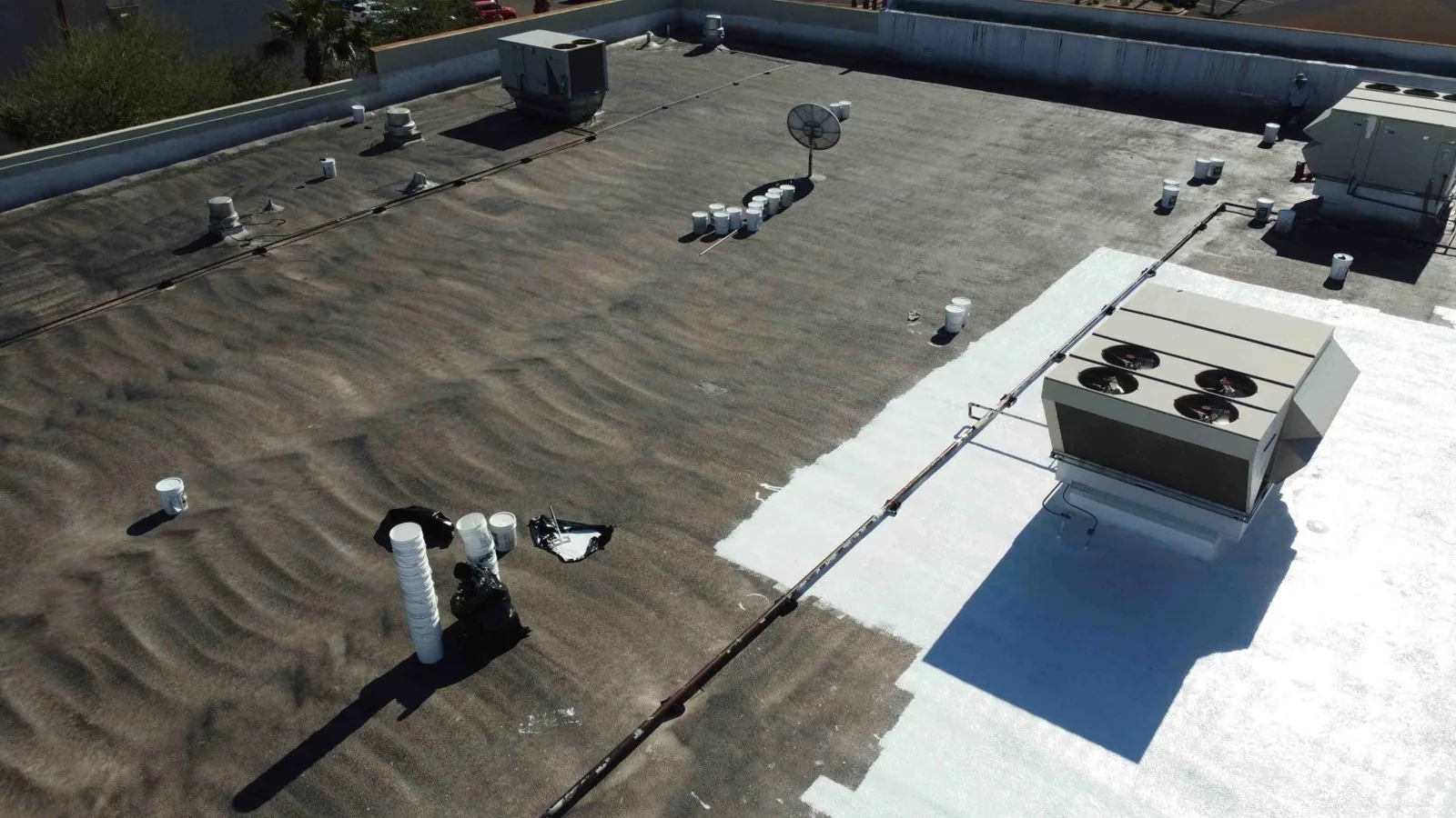
A useful image package includes date, roof area, direction of view, and a clear label for each follow-up location. We pair wide and close views so a project team can identify the detail without searching through unlabeled files. Any area that could not be captured because of weather, access, or obstruction is identified as a limit, not omitted from the record.
We connect visible observations with recommendations for a walk, test, maintenance visit, or repair scope. That helps the general contractor set a bid comparison around specific locations. For a wider program, a photographic roof condition report can keep images and findings together with the building's roof history and future review points.
Some sites have multiple buildings or roof levels that make repeatable labeling important. We use consistent names supplied by the property team and note the corresponding roof area on a plan where available. The next inspector can return to the same marked location, compare new images, and see what changed after maintenance or construction.
From overhead view to next step
Drone imaging is most useful when it answers a defined access or coverage question. We can map a large field, document areas difficult to reach, or give an owner a baseline before selecting where hands-on checks are needed. It is not a substitute for a full inspection when the decision depends on attachment, flashing condition, or moisture below the membrane.
For regional projects, North Haven and Branford are among the service areas where site access and roof geometry can shape the inspection plan. We schedule a review around the property contact's operating window and document what the imagery supports. Bring roof plans, prior reports, access rules, and any problem locations to a drone inspection review so the image set can serve the next decision.

Questions Owners Ask
Can drone images replace a hands-on commercial roof inspection?
No. Aerial images document visible surface conditions and help select follow-up locations, but they cannot confirm every seam, attachment, or concealed moisture condition. We pair the image record with hands-on checks where the project decision depends on those details.
Which roof issues are easiest to locate from above?
Broad drainage patterns, debris, visible surface changes, displaced items, and locations that need a closer look are often easier to map from above. Shadows, glare, and roof obstructions can limit a view, so we label uncertain details for physical review.
What site preparation does a drone inspection need?
A property contact, safe launch area, access limits, roof plan if available, and any operating restrictions help us plan the capture. We set the flight window around people, vehicle routes, equipment, and current weather, then coordinate any hands-on follow-up separately.
Will drone images show moisture below the roof membrane?
An overhead camera records the roof surface, not the insulation beneath it. If the images or roof history raise a moisture question, we can use infrared methods or test openings to confirm where further investigation is needed.
How can the general contractor use the image package?
Labeled wide and close views let the contractor match observations to roof areas, plan access, and request follow-up checks at defined locations. We connect visible conditions to next steps so the image set supports a scope review rather than becoming an unindexed group of pictures.